I rode my X-ADV over Shinminato Bridge (Shinminato Ohashi) in Imizu, Toyama Prefecture, and back.
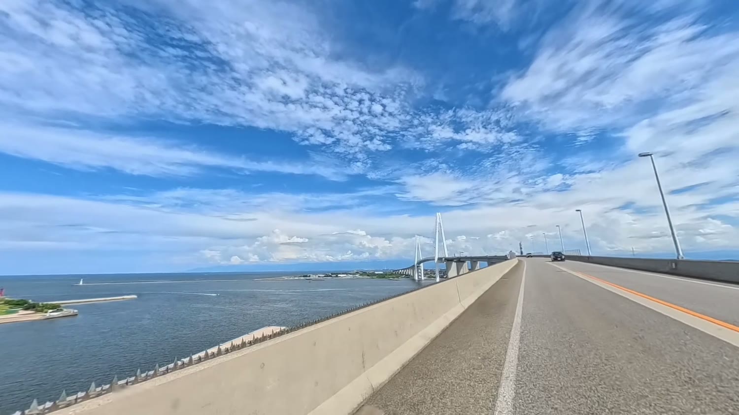
It is one of the largest cable-stayed bridges on the Sea of Japan coast, and the deck is about 47 m above the sea. From the top you can see the sea and sky, the Noto Peninsula in the distance, and even the sailing ship Kaiwomaru.
In this article I show the route and the highlights, with stills taken from my video.
The short answer
- Ride over Shinminato Bridge and back from the coast road in Imizu (Route 415)
- The deck is about 47 m above the sea, with superb views
- You look down on the Kaiwomaru and big ships
- Watch out for police checks at the stop sign on the way
- On a clear day you should be able to see the Tateyama mountains
The bridge on video
I've put the ride there and back into an 8-minute video, with a map and narration (Japanese, with English subtitles).
What kind of bridge is Shinminato Bridge?
Shinminato Bridge is a cable-stayed bridge across Toyama Shinko port. It opened in 2012.
The main towers are 127 m high, the section over the water is about 600 m long, and the total length including the approaches is said to be about 3.6 km.
The deck is about 47 m above the sea so that large ships can pass underneath.
Another feature is the Ainokaze Promenade, a walkway for pedestrians and cyclists on the lower level.
The route I took
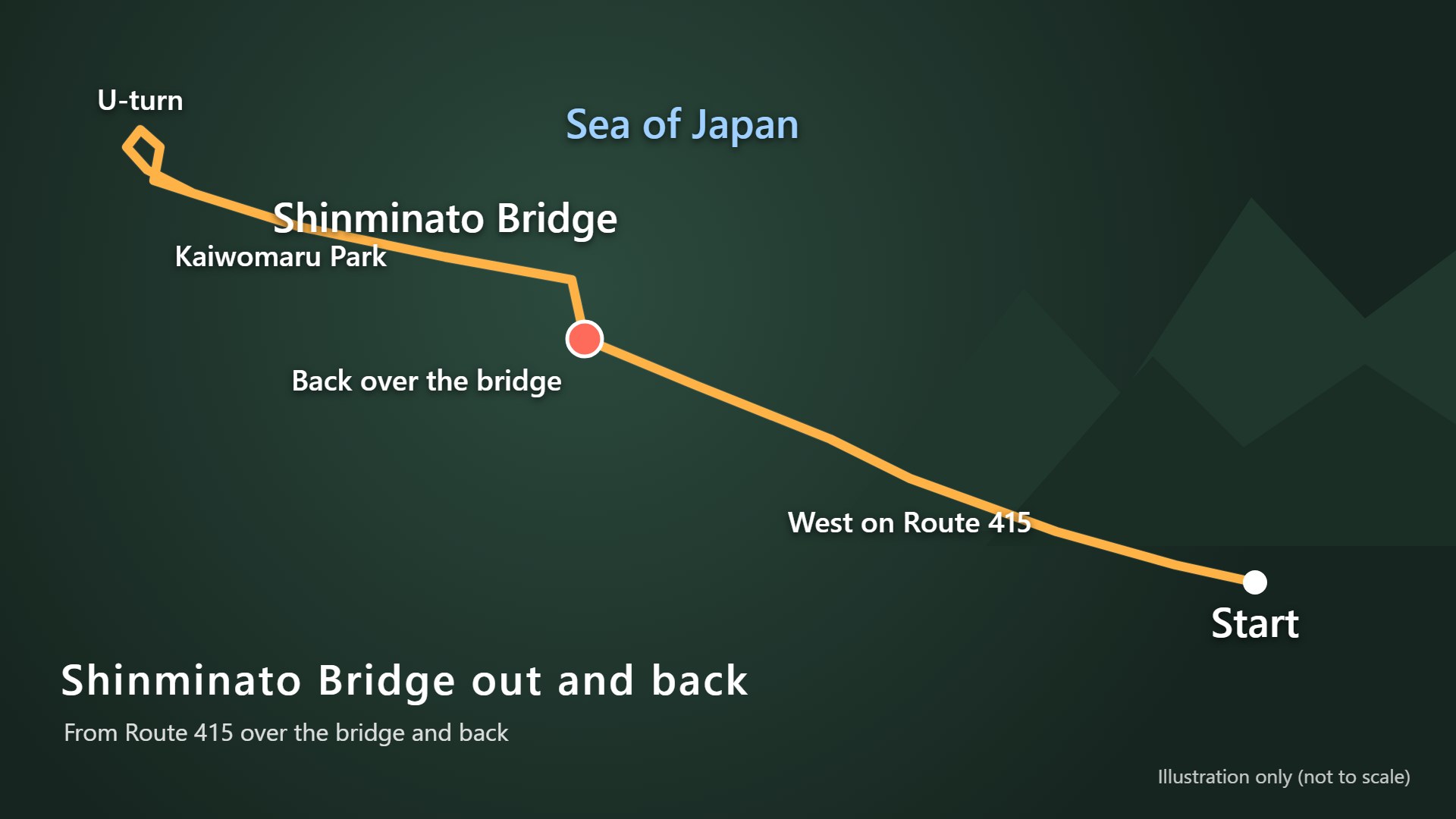
- West along the Imizu coast on Route 415
- Cross Shinminato Bridge
- U-turn near Kaiwomaru Park
- Cross Shinminato Bridge again on the way back
The map is an illustration only; the scale and road shapes are not accurate.
The coast road to the bridge
Nishimachi Hikiyama Okura
Just after setting off, a tall building comes into view for a moment.
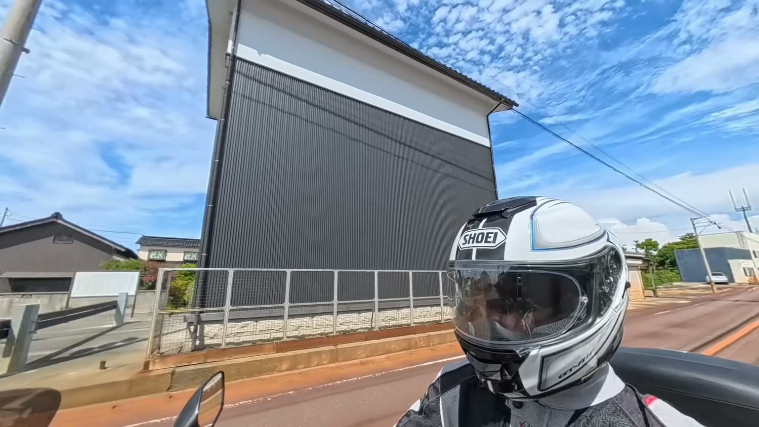
This is the storehouse for the Nishimachi hikiyama (festival floats). It holds a float used in the Ebie Hikiyama Festival, held every year on the autumn equinox holiday.
Watch the stop sign
At the stop sign on the way, the police sometimes run checks.
Come to a full stop here and look both ways before moving off.
The marina
After the stop sign, a marina comes into view.
It is only a short stretch to the next traffic lights, but it is a lovely spot with views of the sea and boats.
Shinminato Bridge on the way out
When Shinminato Bridge appears in the distance, the climb onto the bridge is close.
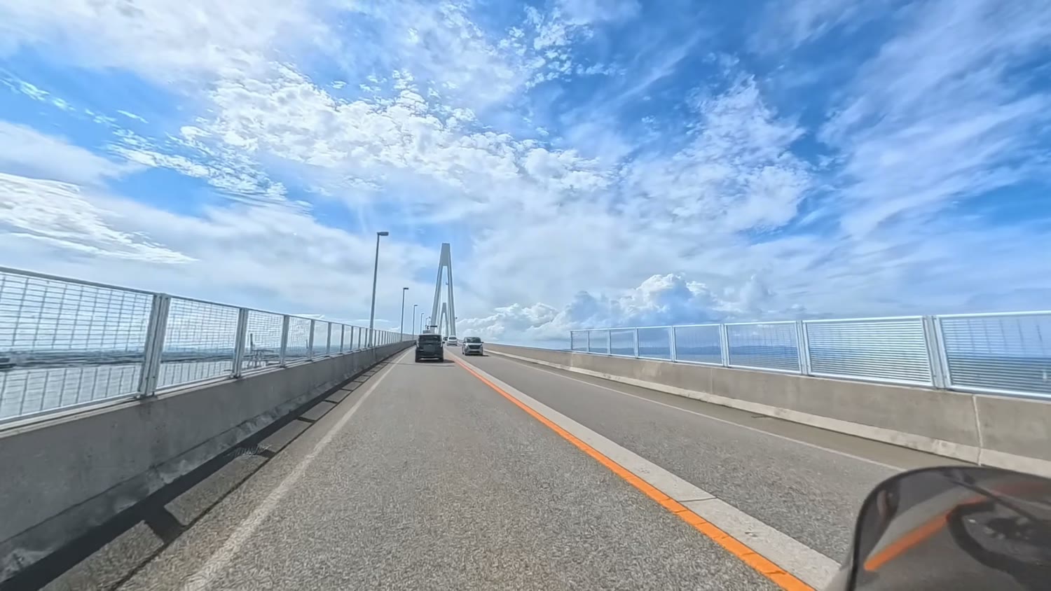
You ride high above the water, so the views are wonderful.
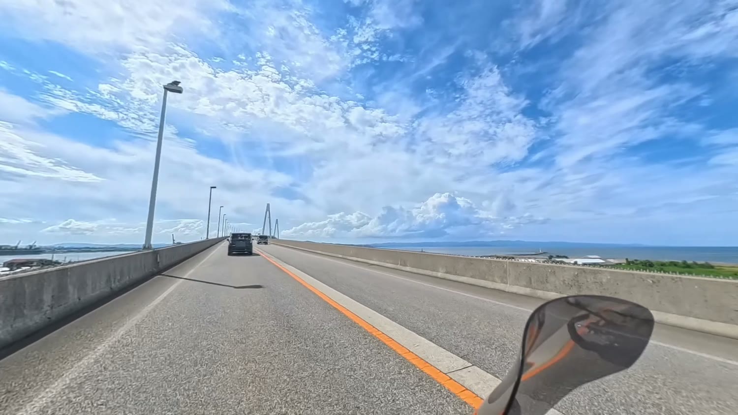
I could see the sea and sky, and the Noto Peninsula in the distance.
The 127 m main tower
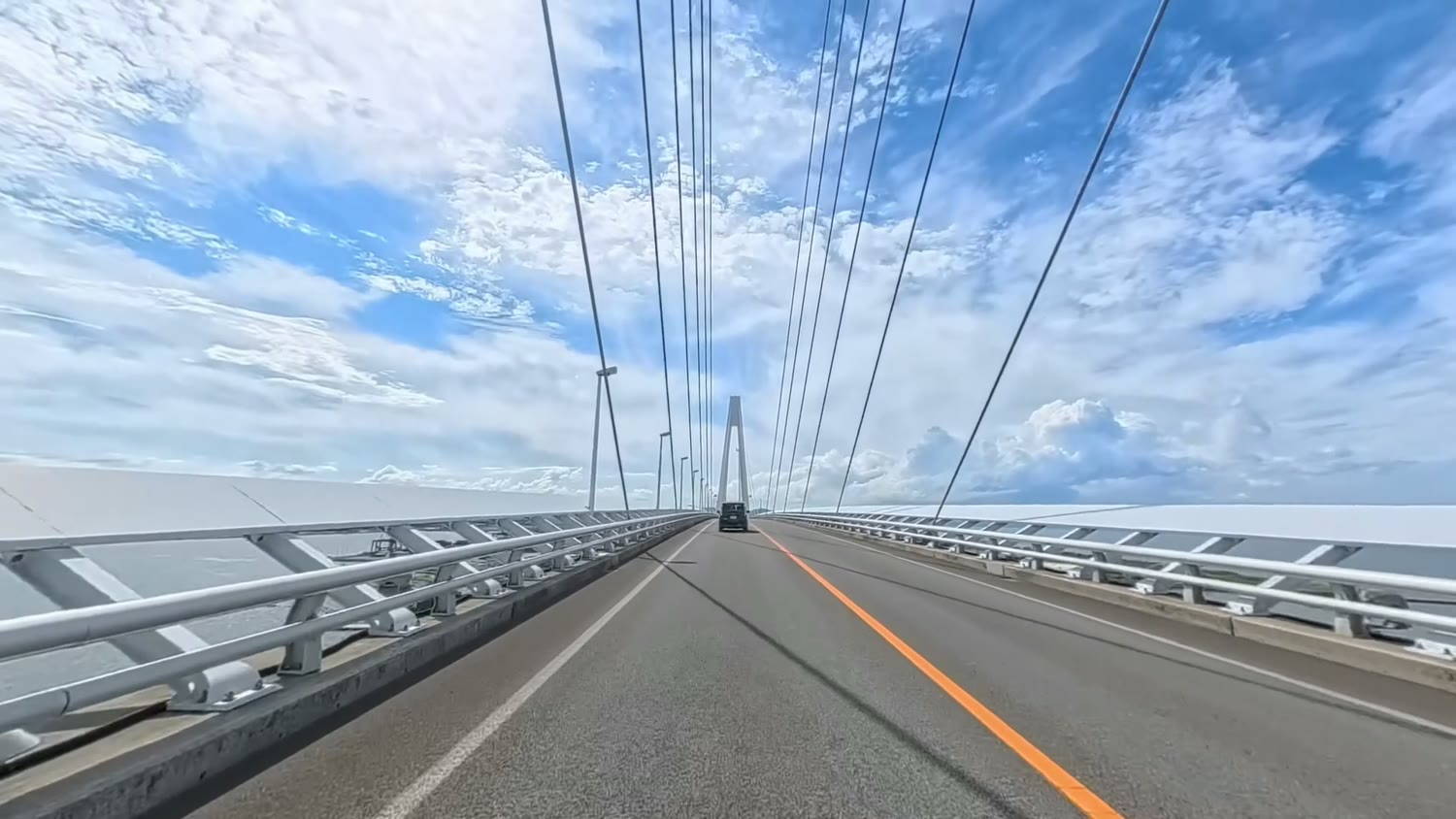
The cables running diagonally from the tower hold up the bridge.
Big ships and containers in the port
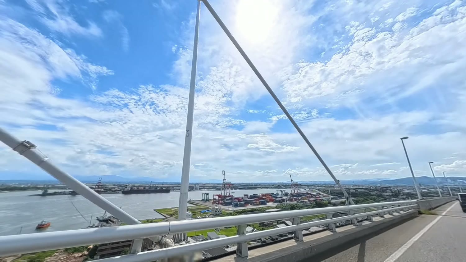
Below you can see big ships and containers.
The bridge runs this high so that large ships can pass underneath.
Shinminato Bridge on the way back
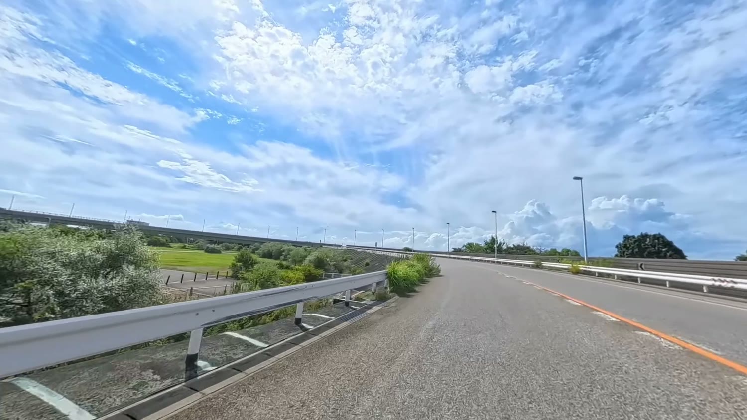
After coming off the bridge I made a U-turn, climbed the loop and crossed the bridge again.
On the way back I had a good view of the Kaiwomaru from the bridge.
The white sailing ship Kaiwomaru is known as the "Lady of the Sea" for its graceful lines.
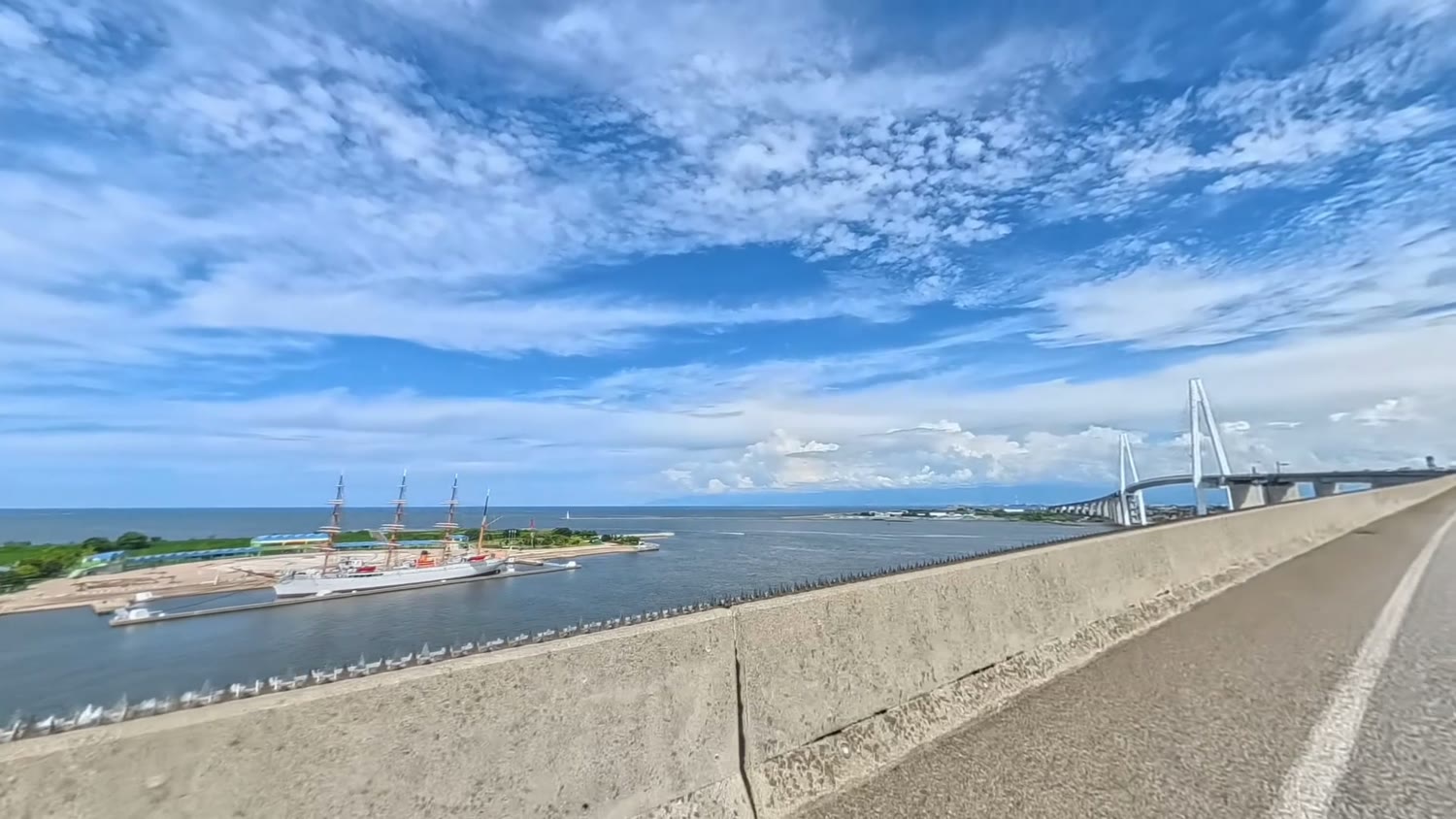
You can also see far across the Sea of Japan.
My impressions
On the bridge on the way back there is a spot where, on a clear day, the Tateyama mountains should be visible in the far distance.
That day, though, there was cloud over them and I couldn't see them well.
I'd like to go back on a fine day.
I filmed the ride in 360 degrees with an Insta360 X5.
-

-
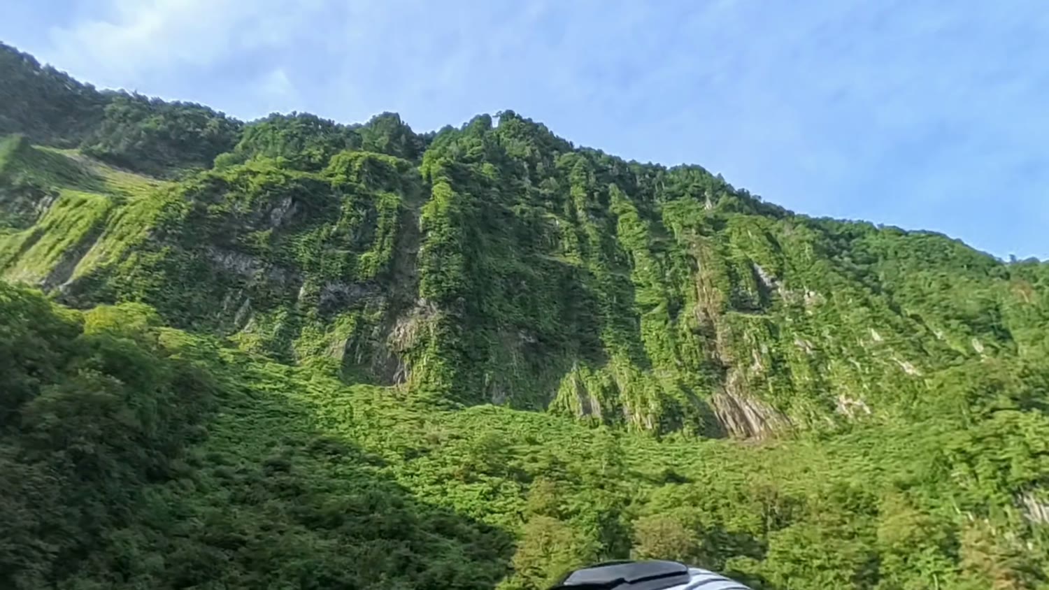
Riding to Shomyo Falls, Japan's Tallest Waterfall: Route from Toyama City and the Akushiro Wall (Honda X-ADV)
My motorcycle route from Toyama City to Shomyodaira Parking below Shomyo Falls (350 m), with photos and video: easy roads with few traffic lights, the 500 m Akushiro Wall, a 30-minute walk to the viewpoint, and Shomyo Road's opening times.
Summary
- Shinminato Bridge is one of the largest cable-stayed bridges on the Sea of Japan coast
- The deck is about 47 m above the sea, with superb views
- You look down on the Kaiwomaru and big ships
- Watch out for police checks at the stop sign on the way
- On a clear day you may see the Tateyama mountains
The video shows the height of the bridge and the views just as they are. Please have a look.
*This is based on my ride on 14 August 2026. Road and local facility information may change, so check the latest information before you go.