I rode my X-ADV from Toyama City to Shomyo Falls (Shomyo-daki), said to be Japan's tallest waterfall.
In this article I show the route from Toyama City to Shomyodaira Parking, the car park just below the falls, with stills taken from my video.
Another highlight on the way is the Akushiro Wall (Akushiro-no-Kabe), a rock face about 500 m high that you look up at from the road.
The short answer
- From Toyama City, head for the mountains on Prefectural Roads 3 and 68, the farm road and Prefectural Road 6
- Few traffic lights, a very easy road to ride
- Finish on Shomyo Road to Shomyodaira Parking
- You can look up at the Akushiro Wall from Shomyo Road
- About a 30-minute walk from the car park to the falls viewpoint
- Shomyo Road is closed in winter and only open at set times
The route on video
I've put the ride into an 8-minute video, with a map and narration (Japanese, with English subtitles).
What kind of waterfall is Shomyo Falls?
Shomyo Falls is in Tateyama Town, Toyama Prefecture.
With a drop of 350 m it is said to be the tallest in Japan, and it falls in four tiers.
It is designated a national Place of Scenic Beauty and Natural Monument, and is one of Japan's "Top 100 Waterfalls".
The route from Toyama City
This is the route I took.
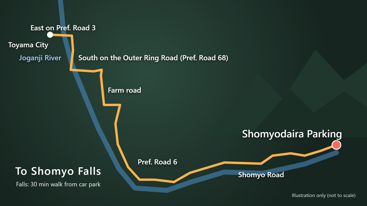
- East from Toyama City on Prefectural Road 3
- Cross the Joganji River
- South on the Toyama Outer Ring Road (Prefectural Road 68)
- Take the wide-area farm road
- Head for the mountains on Prefectural Road 6
- Shomyo Road to Shomyodaira Parking
The map is an illustration only; the scale and road shapes are not accurate.
Crossing the Joganji River
I left home at about 6 a.m. and first crossed the iron bridge over the Joganji River.
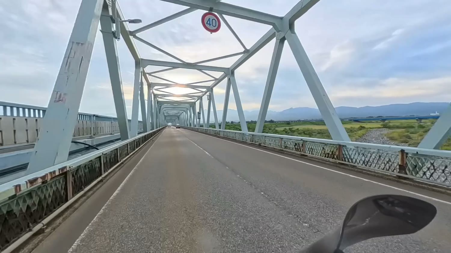
Shomyo Falls lies upstream on this river.
A straight road through the rice fields
For a while, a straight road runs through the rice fields.
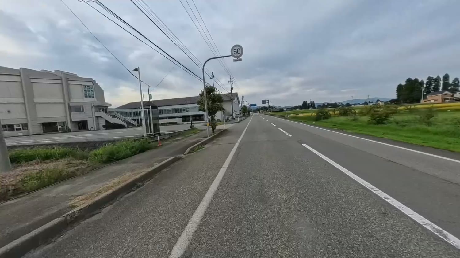
It was early morning, so there was still little traffic.
Mountain roads and snow sheds
As the mountains get closer, the road runs through an avenue of cedars.
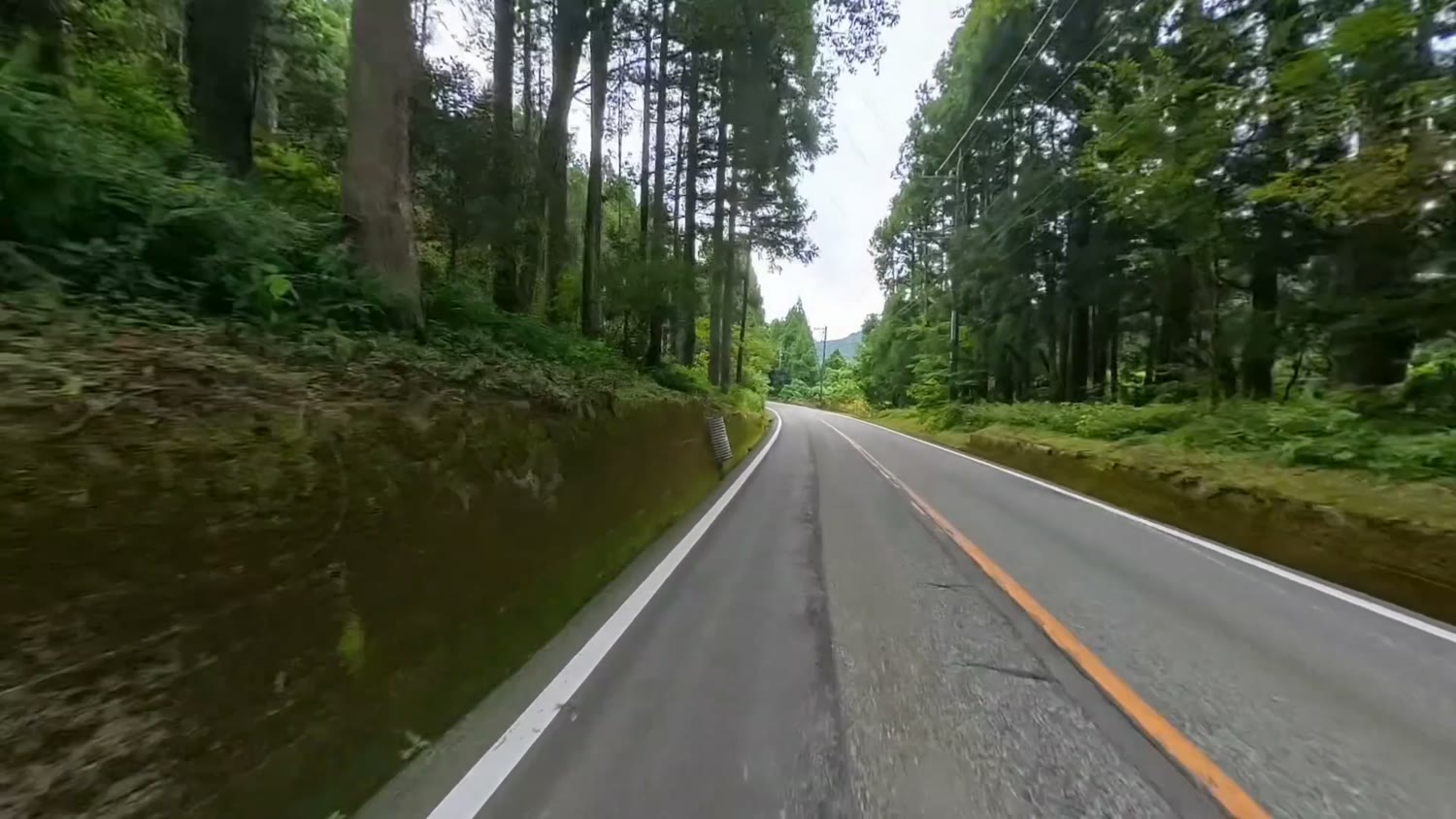
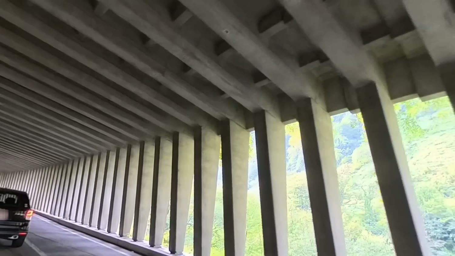
Beyond that is a snow shed that protects the road from snow and falling rocks.
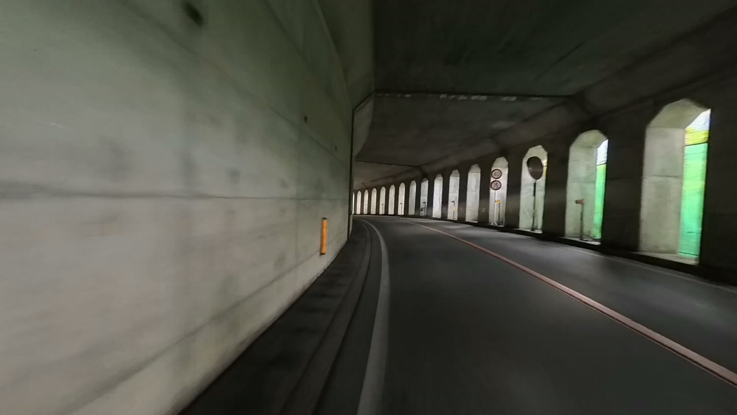
Into the valley
Past the snow shed, the mountains close in.
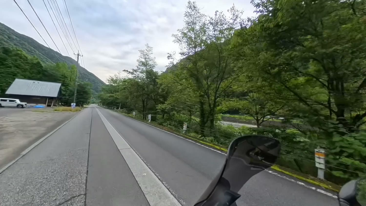
From here the road follows the river and climbs deeper into the valley.
Highlight: the Akushiro Wall
As you go along Shomyo Road, sheer cliffs appear on both sides.
The biggest of them is the Akushiro Wall (Akushiro-no-Kabe).
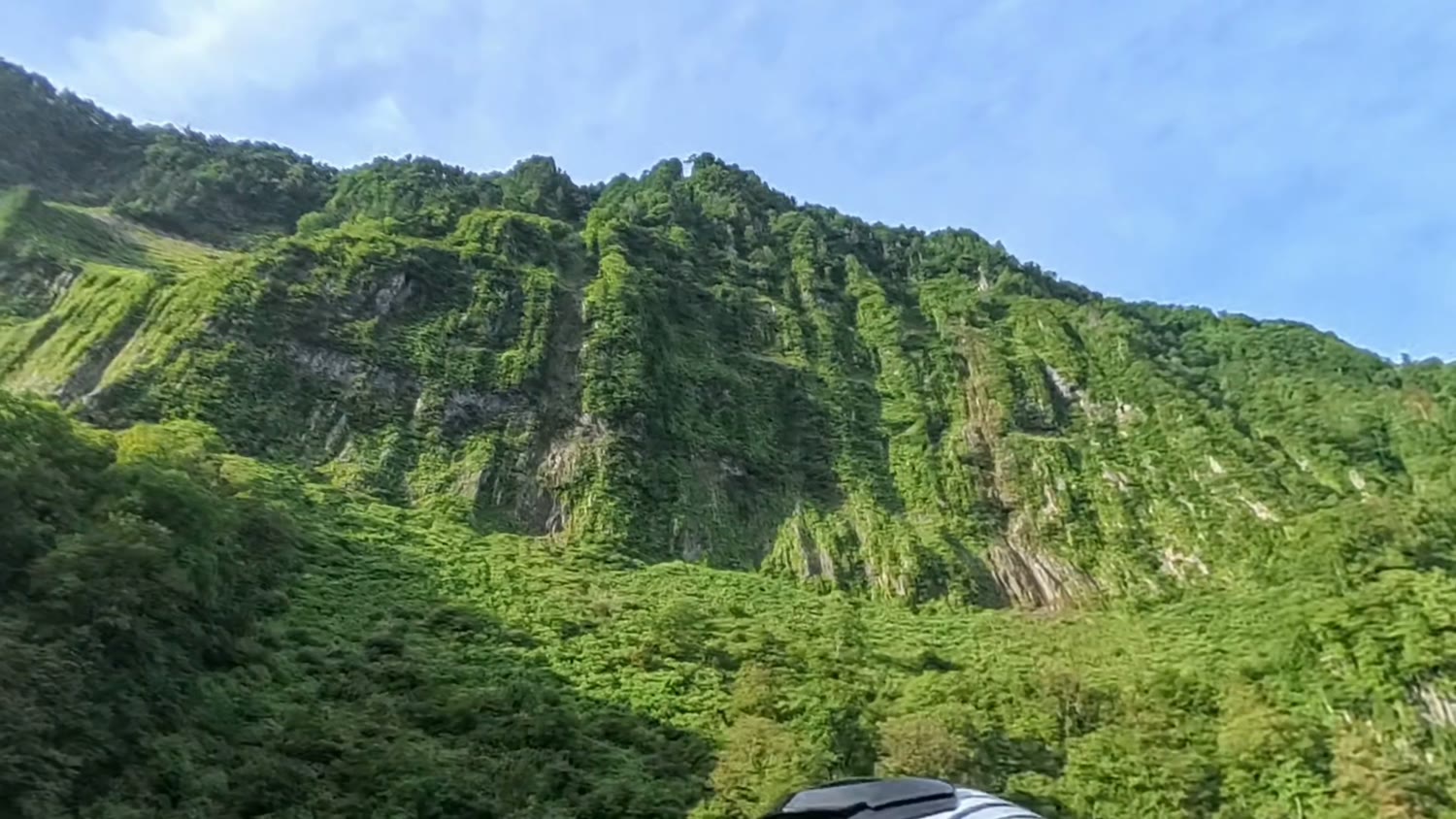
It is said to be about 500 m high and about 2 km long.
It is a sheer wall carved over a very long time by the Shomyo River out of rock formed by Tateyama's volcanic activity.
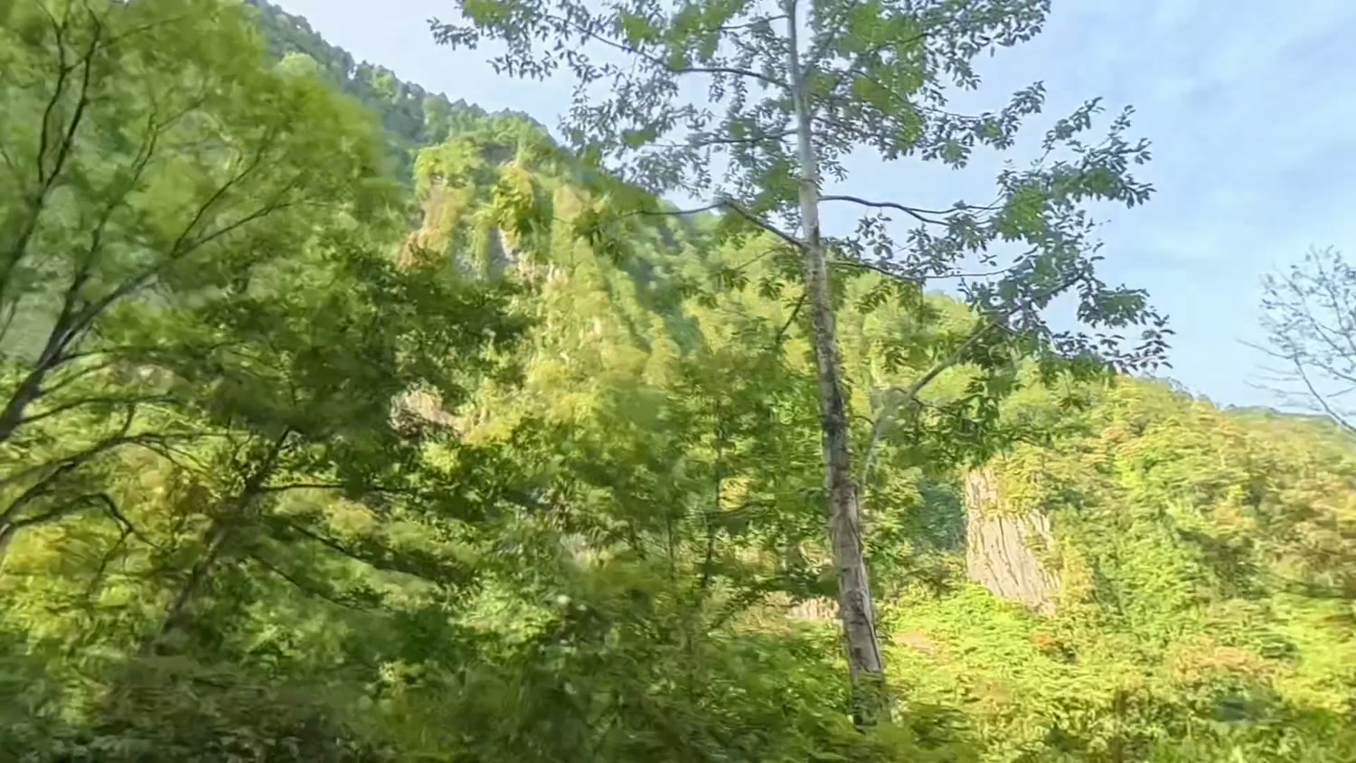
The rock wall carried on between the pillars of the snow shed, too.
Arriving at Shomyodaira Parking
Up the last slope and you reach Shomyodaira Parking.
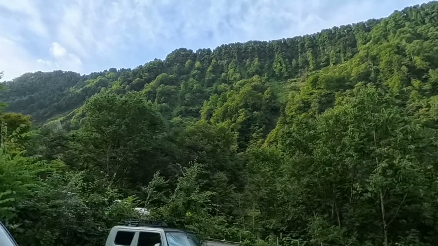
Even though it was early morning, the car park was already full.
From here, the walk along the footpath to the Shomyo Falls viewpoint is said to take about 30 minutes.
This article covers the ride as far as the car park.
Check before you go
- Shomyo Road is closed in winter
- Opening hours are set for each season
- If you go early, don't arrive before it opens
- Check the latest information on the official Tateyama Kurobe Alpine Route website
In 2025, for example, it opened at 7 a.m. on 28 April. The hours you can use Shomyo Road are said to vary through the season.
My impressions
From Toyama City to Shomyodaira the road had few traffic lights and was very easy to ride.
The Akushiro Wall is breathtaking. I recommend going to see it with your own eyes at least once.
I expect the road and car park get busy in the autumn colour and climbing seasons.
Even on the day I went, the car park was already full early in the morning. Give yourself plenty of time.
I filmed the ride in 360 degrees with an Insta360 X5.
Summary
- You can get from Toyama City to Shomyodaira Parking on prefectural roads
- The scenery changes from rice fields to mountain roads
- Few traffic lights, easy to ride
- The Akushiro Wall is a huge rock face about 500 m high, well worth seeing
- About a 30-minute walk from the car park to the falls viewpoint
- Expect crowds in the autumn colour and climbing seasons
- Check Shomyo Road's opening period and hours before you go
The video shows the feel of the road just as it is. Please have a look.
*This is based on my ride on 5 September 2026. Road opening periods and hours and car park information may change, so check the official information before you go.